



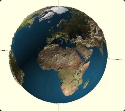

Earth
Banate CAD
education
planet
Geodesy
Geoscience
topography
astronomy
geology
height map
space


15

3
Since I made a new release of Banate CAD today:
http://williamaadams.wordpress.com/2011/11/28/banate-cad-second-release/
I thought I'd make somethingto to go with it. Well, while I was out in space taking pictures of the moon, and space ships, I thought, hay, why not turn the camera towards earth and take a couple of snaps, and create a model while I'm at it.
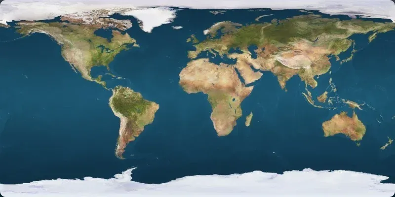
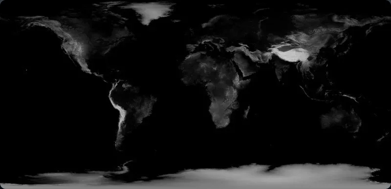
This thing is a vector normal mapped (a new term I found on the internet) model of the earth.
I grabbed a couple of high quality pictures from the internet, and just threw them into Banate CAD, the same way as I created the moon shot, and there you have it!
I'm sure someone is dying to tell me the earth is an oblate spheroid, and that I can't model it strictly as a sphere, but I think at these sizes it won't really matter.
Originality of the Model
The author declares that this work is their personally shared model

This model is licensed under the following terms:
Credit must be given to the creator
Models(2)
 Earth.stl
30.46 MB

2025-07-05
- earthshot.fab
0.87 KB
2025-07-05


