





WutongMountainTerrainModel
ContourLineTopographyPrint
ShenzhenHighestPeakReplica
RuggedMountainLandscape
TactileGeographyDecor
GuangdongLandmarkModel

- 0.24mm layer, 2 walls, 15% infill

1-disc
PLA
Designer

6

1
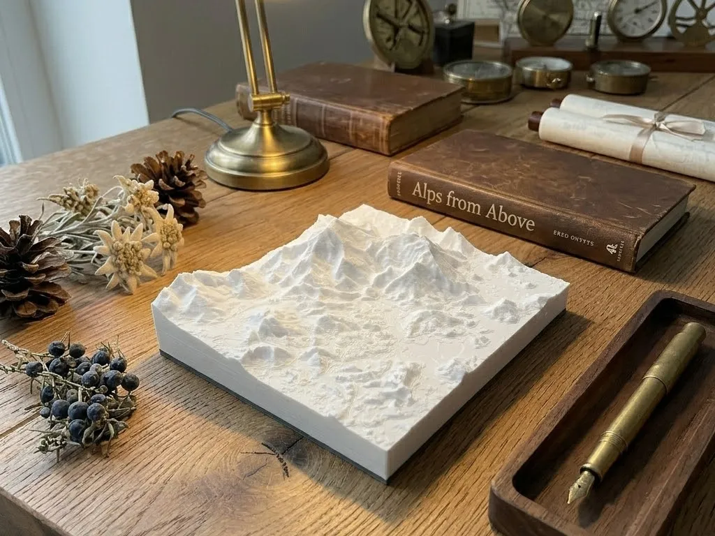
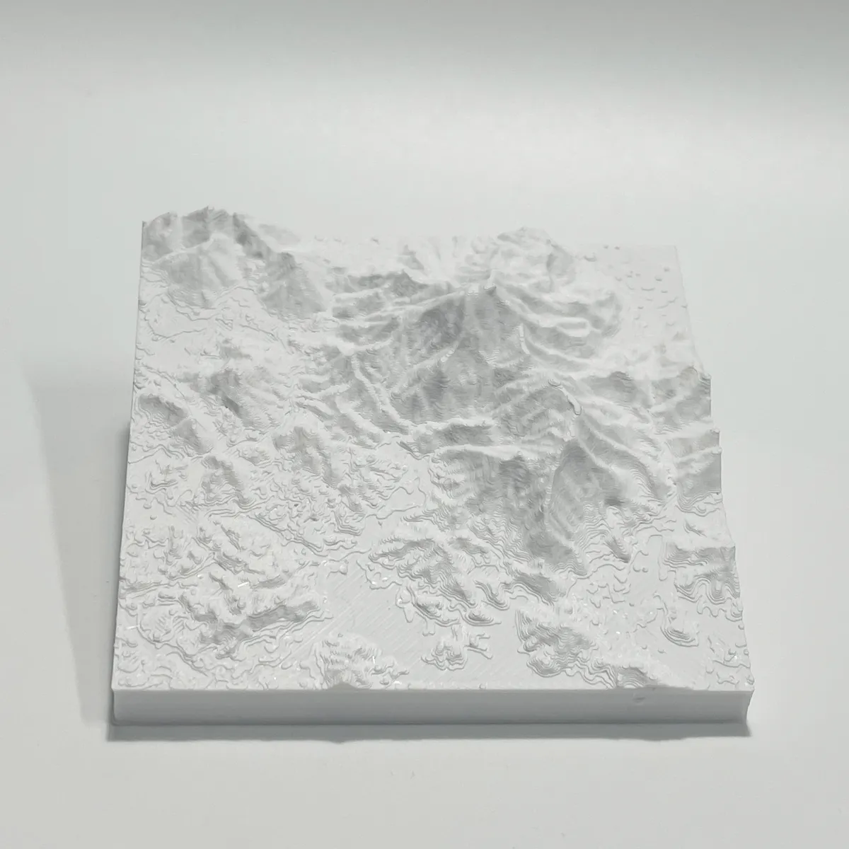
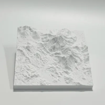
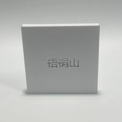
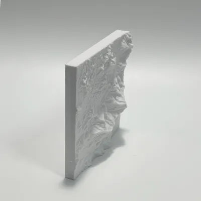
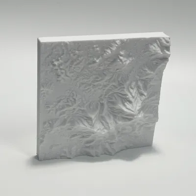
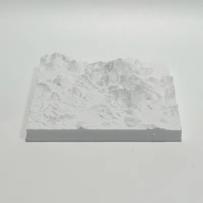
This 3D printed topographical model vividly recreates the undulating terrain of Wutong Mountain, Shenzhen’s highest peak. Layered contour lines trace the mountain’s main ridge, secondary peaks, and winding valleys, showcasing the natural elevation changes from the foothills to the summit. The minimalist white finish emphasizes the rugged landscape, making it both an educational geography tool and a refined desk decor piece celebrating the iconic landmark of Shenzhen.
Originality of the Model
The author declares that this work is their personally original model
This model is licensed under the following terms:
Credit must be given to the creator
Models(1)
- 梧桐山.3mfDesigner

31.85 MB

2026-05-12


