



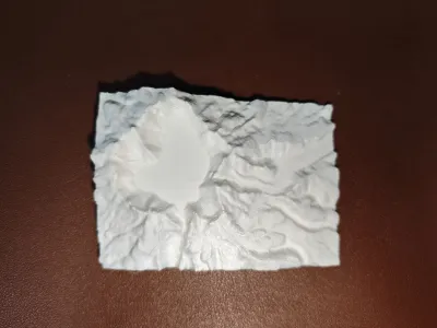

Heavenly Lake
Terrain model
Geological model
Geography teaching aids

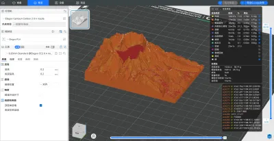
- 0.2 mm layer height, 2‑wall walls, 5% infill density

1-disc
PLA
Designer

16

1
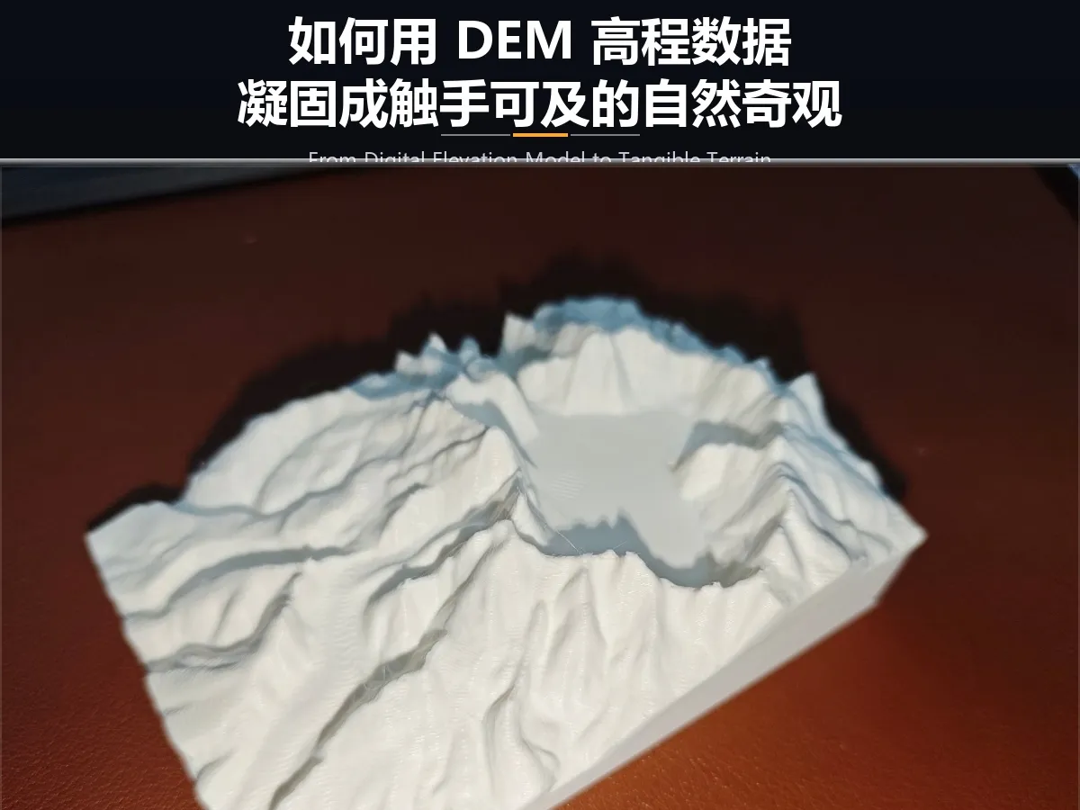
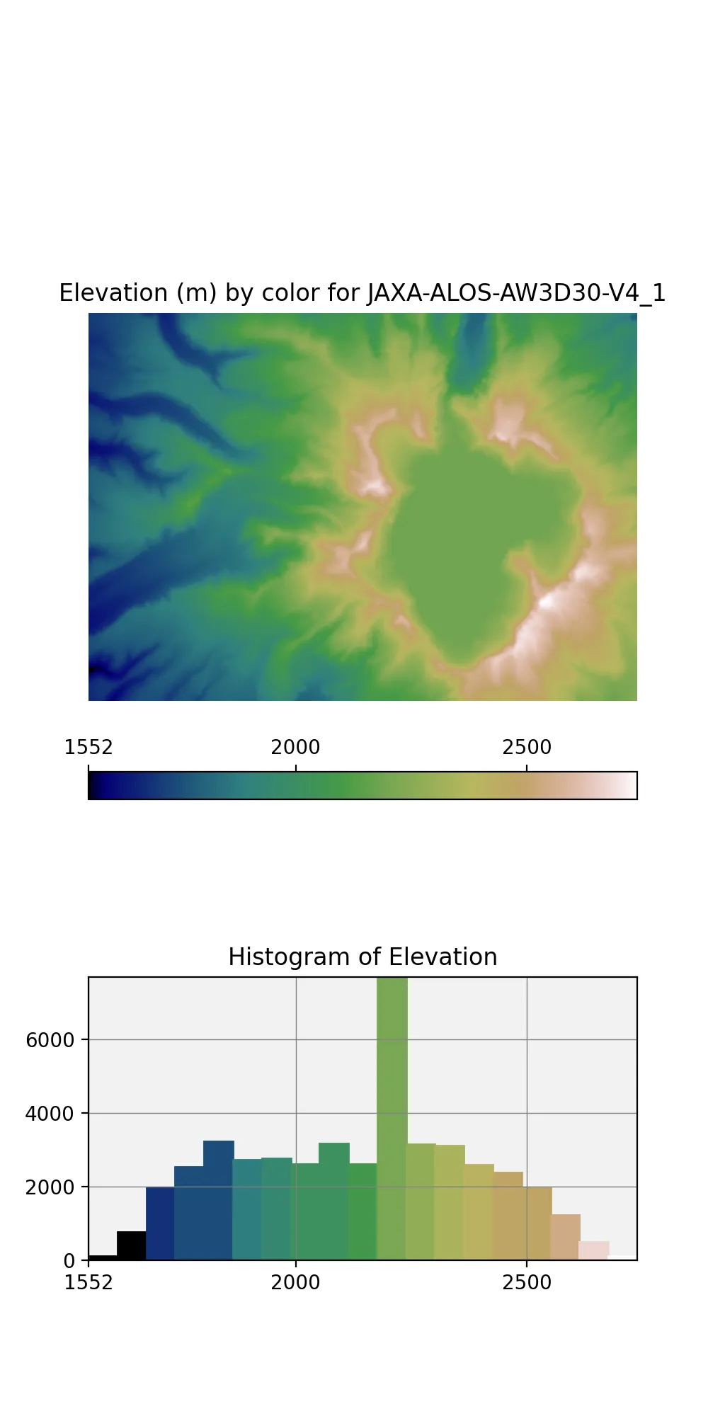
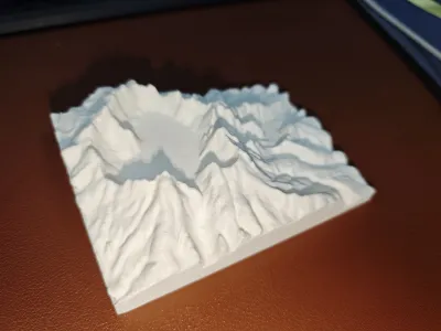
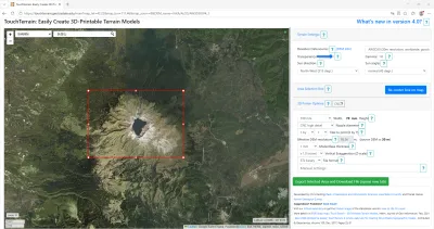
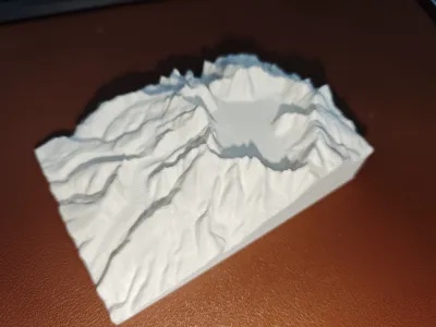
Today, I’ll show you everything—starting from the DEM elevation data of Tianchi Lake on Changbai Mountain, we’ll transform an abstract digital matrix into a tangible, three-dimensional terrain. Using 3D printing, we can precisely recreate the volcanic crater’s outline, encircled by sixteen peaks, turning cold, raw data into a palpable natural wonder through layer upon layer of additive manufacturing. For more details, visit the EDM website: TouchTerrain: Easily Create 3D-Printable Terrain Models (version 4.0 - ESRI). A detailed tutorial is attached.
Originality of the Model
The author declares that this work is their personally original model
This model is licensed under the following terms:
Credit must be given to the creator
Only noncommercial uses of the work are permitted
Remixes must be shared under the same license
Models(1)
- 长白山天池.3mfDesigner

1.04 MB

2026-07-14
Attachments(1)
zip
TouchTerrain地形模型生成教程.zip
696.10 KB
2026-07-14


