




ContourLineMountainModel
TopographicalTerrainPrint
TactileGeographyTool
LayeredElevationDesign
MountainRangeReplica
EducationalDeskDecor
ModernSculpturalPiece
LandscapeMapModel

- 0.24mm layer, 2 walls, 15% infill

3-disc
PLA
Designer

2

0
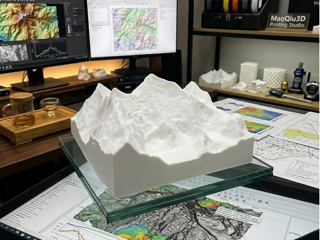
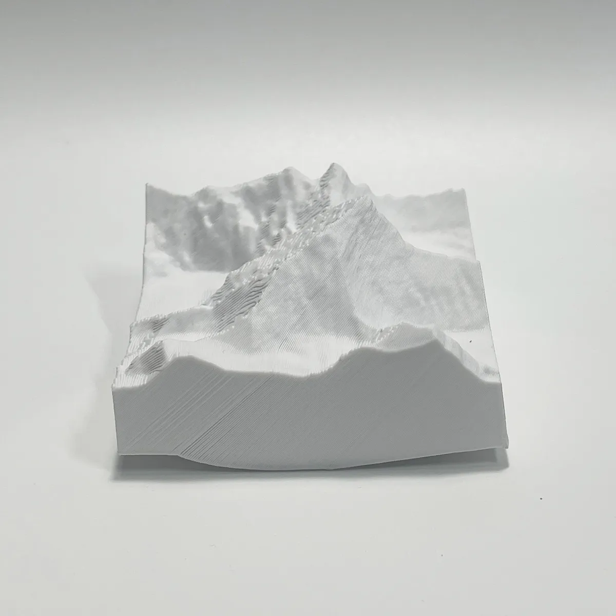
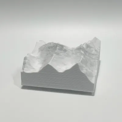
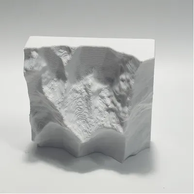
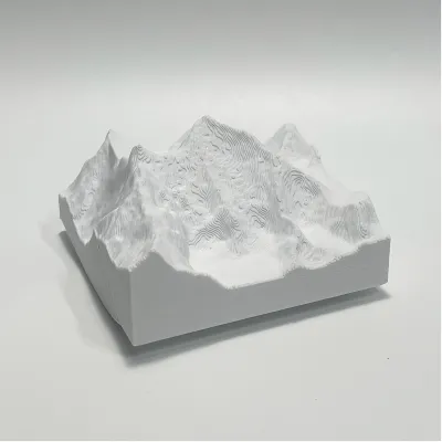
This 3D printed terrain model is a detailed topographical representation of a mountain range, created using layered contour lines that trace the natural elevation changes. The raised ridges and valleys are captured with precision, offering a tactile, three-dimensional map of the landscape. Minimalist in white, it serves as both an educational tool for geography and a modern, sculptural desk decor piece.
Originality of the Model
The author declares that this work is their personally original model
This model is licensed under the following terms:
Credit must be given to the creator
Models(1)
- 珠峰.3mfDesigner

32.89 MB

2026-05-12


