




map
tokyo

- 0.2mm layer, 2 walls, 15% infill

1-disc
PLA
Designer

9

2
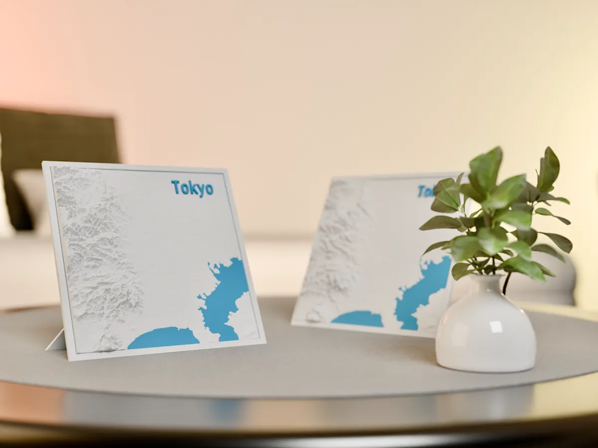
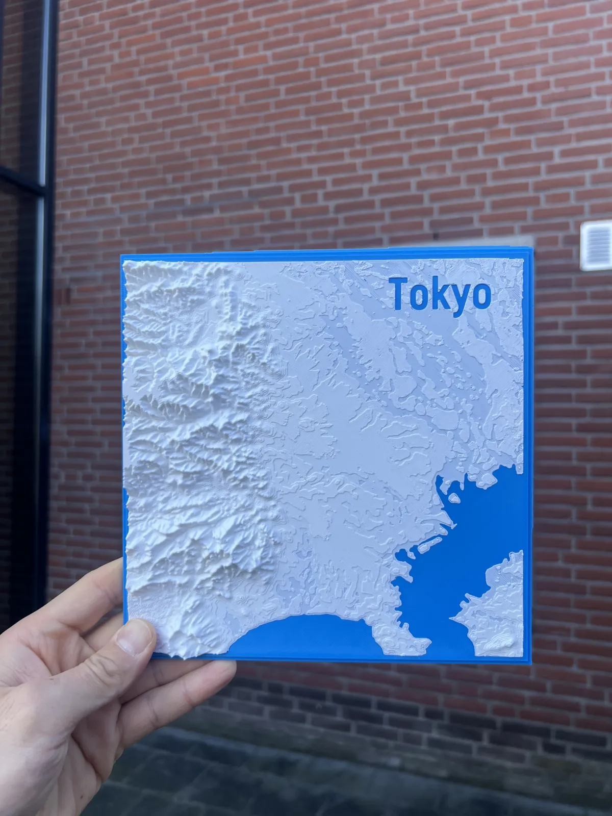
Tokyo Topographic Map
Tokyo, a city where tradition meets innovation, is built on a fascinating landscape shaped by both natural and urban elements. This topographic map captures Tokyo’s unique elevations, from its rolling hills to the vast Kanto Plain, highlighting the city's dynamic terrain.
Mount Fuji, an iconic symbol of Japan, stands majestically near Tokyo, influencing the region’s geography. The map also reflects the city’s rivers, valleys, and subtle elevation changes that define its sprawling metropolitan area.
- Compatible frame size : 20cm x 20cm
Alongside Tokyo, I am also creating topographic maps of Istanbul, San Francisco, and Rio de Janeiro. You can explore these and more on my page!
If there are any other cities you’d like to see in this style, feel free to leave a comment—I’ll do my best to create them as soon as possible!
If you want to get a commercial license, you can buy it from Makerworld or Patreon.
I would be happy if you could look at the links below:
Link Tree: https://linktr.ee/a_ilterish
Patreon: https://www.patreon.com/c/A_ilterish
Instagram: https://www.instagram.com/a_ilterish/
Originality of the Model
The author declares that this work is their personally original model
This model is licensed under the following terms:
This work is licensed under a Standard Digital File License. Digital files have a strict non-commercial, personal use only license.
You shall not share, sub-license, sell, rent, host, transfer, or distribute in any way the digital file or 3D printed versions of this object, nor any other derivative work of this object in its digital or physical format (including remixes of this object). You can not host these files on other digital platforms, web stores or cloud repositories. The objects may not be used in any way whatsoever in which you charge money, collect fees.
Models(1)
- Tokyo_Final.3mfDesigner

26.72 MB

2025-10-02


